Artists of Air Navigation
For centuries, people have watched bird migration with amazement. Today it can be tracked by satellite and yet it remains fascinating. In Sagres, a festival turns attention to these masters of orientation.
For centuries, people have watched birds disappear in autumn and return months later. Today, transmitters can track their journeys across continents. Yet even with satellites, radar and GPS, it remains astonishing how an animal finds its way over thousands of kilometres – and why the best route does not have to be the shortest one.
Where do the birds go?
Cranes cross the sky in long formations. Swallows suddenly vanish. Storks leave their nests and return in spring. To us, this is part of the yearly cycle. For a long time, however, it was not clear where these birds were actually going.
In 1822, a white stork provided dramatic evidence itself. In northern Germany, a stork was found with a long African arrow lodged in its neck. The bird had survived the injury, flown back to Europe and was later preserved. This famous “arrow stork” is still regarded as one of the first clear proofs that European birds spend the winter far to the south.
Today, what was once a mystery can be traced much more precisely. And some of these journeys stretch our sense of scale.
When 13,000 kilometres are not the end
Arctic terns travel between the high latitudes of the Northern Hemisphere and the Southern Ocean. Tagged birds have covered around 70,000 kilometres in a year. Bar-tailed godwits show another kind of endurance: one young bird was tracked on a non-stop flight of more than 13,000 kilometres from Alaska to Tasmania.
Birds do not fly such distances for adventure. Migration allows them to use different habitats in different seasons. Food, breeding grounds, daylight and conditions for raising young all matter. When one region loses its favourable season, another is just entering it.
That leads to the next question: how do they know where to go?
A map made of sun, stars and magnetic fields
There is no single answer. Different species combine different cues.
The sun can act as a compass. Night migrants orient themselves by the stars. Birds can sense the Earth’s magnetic field. Mountains, rivers and coastlines provide visible guides, and in some species even smell plays a role. Young birds master part of this orientation on their very first journey, even though no one has shown them the whole route.
This creates large migratory corridors, known as flyways. They connect breeding areas, stopover sites and wintering grounds across countries and continents. A migratory bird’s map therefore looks different from ours: national borders hardly matter, while food, wind, water, mountain ranges and safe resting places matter a great deal.
Where Europe meets the Atlantic
From 2 to 5 October, the 17th Birdwatching Festival and Nature Activities Festival takes place around Sagres in southwestern Portugal. Its location makes the region one of Europe’s well-known places for observing autumn migration. In 2026 the programme includes more than 300 activities: observations on land and at sea, scientific bird ringing, walks and events for young visitors.
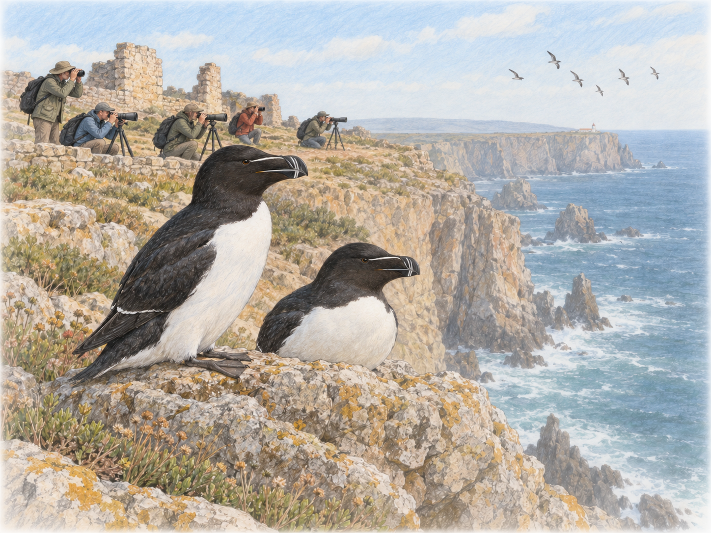
Anyone standing on the cliffs with binoculars or a long camera lens is not simply watching birds fly by. They are standing at a point where different migration strategies become especially visible.
To explain one of them, we start with a bird almost everyone knows.
The stork and the detour to Africa
The white stork is not the main focus of the 2026 festival. We use it as an example because it shows particularly well that air navigation means much more than a straight line on a map.
Storks are excellent gliders. Warm air rises over heated land. In these thermals, storks can spiral upward and then glide long distances without constantly flapping their wings. Over large bodies of water, such upward currents form far less effectively.
That is why white storks do not simply take the shortest path across the Mediterranean on their way to Africa. The western route converges at the Strait of Gibraltar and the eastern route at the Bosporus. There they cross relatively short stretches of sea and can then make use of thermals over land again.
From Sagres, Africa looks temptingly close on a map. But for a stork, the decisive question would not be: where is south? It would be: where can I move on safely with as little energy as possible? In that case, the detour can be the better route.
And what about the razorbill?
For our journey through Europe’s invisible air routes, the white stork accompanies us because it is so familiar. In Sagres itself, however, special attention in 2026 is directed at another bird: the razorbill.
This black-and-white seabird breeds in the North Atlantic. In Portugal it appears along the mainland coast in autumn and winter. In Germany, as a breeding bird, it is associated with Helgoland.
The razorbill reminds us that migration can look very different. The stork seeks rising air over land and avoids long sea crossings. A seabird moves in a world where coastlines and the open Atlantic are part of its habitat. Both navigate. But they do not use the same map.
The shortest route is only one possibility
That is where the real art of migration lies. A bird must not only know in which direction its goal lies. It must also cope with its own body, its style of flight and the conditions along the way.
For one species, this means finding thermals and aiming for a narrow strait. Another follows coastlines or travels far out over the ocean. Some fly at night guided by stars and magnetism; others fly by day following visible landscape features. In between, they need places to rest and regain energy.
So when groups of people stand on the cliffs of Sagres in early October with binoculars and spotting scopes, they are observing more than a seasonal change of place.
They are observing a map that only becomes visible when the birds use it.
And these artists of air navigation keep showing the same thing: the best route does not have to be the shortest. It has to be the one that works.